
Tag: CREAF
-
Leveraging satellite data for wetland monitoring
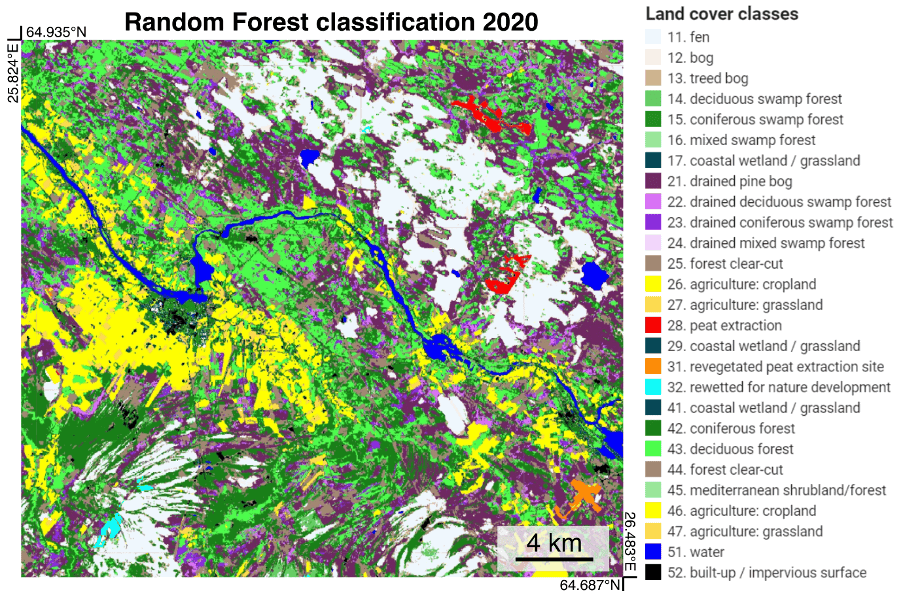
CREAF has provided ecological and remote sensing expertise to the ALFAwetlands project, applying techniques that improved the spatial knowledge of the wetlands in the project’s Living Labs. In Work Package 1, CREAF developed algorithms to map land cover in Living Labs using Sentinel-2 data and generated 30-year land cover change maps with Landsat data. In…
-
Meet CREAF: ALFAwetlands partner from Catalonia
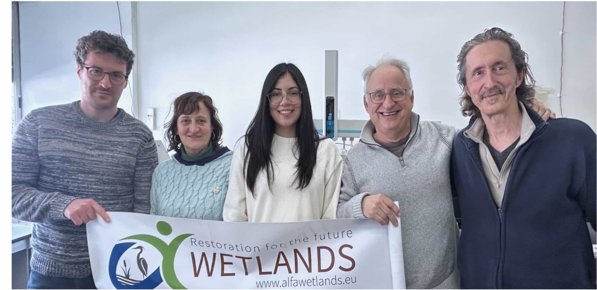
CREAF provides expertise in ecology and remote sensing for important tasks in the ALFAwetlands project. About CREAF CREAF (Ecological and Forestry Applications Research Centre) is a public research center based in Catalonia. CREAF is dedicated to terrestrial ecology, territorial analysis and global change. CREAF’s mission is to generate knowledge to understand nature, identify potential threats,…
